
Trace an Ellis Street by Address
An Ellis street directory works best as a chain of place records. Begin with a current address, normalize its number and street suffix, and use the county map to select the returned feature. Then compare the appraisal account with the recorded instrument index. The result can establish a parcel relationship and a record trail. It does not turn an owner, a deed party, or a map label into a confirmed household list.
Use the same spelling across each search. A historical address may have a rural-route form, an apartment or suite, a postal city different from its local boundary, or an older street reference. County GIS, ECAD, and the County Clerk preserve different fields, so save the map date, parcel or map ID, legal description, and the date of any instrument before moving to the next source.
- Enter the current address in the Ellis County GIS address box and choose the matching item from its dropdown.
- Record the selected parcel, the visible district and precinct layers, and the map date. Zoom only far enough to identify the relevant street segment.
- Search ECAD for the appraisal account, then distinguish the situs address from any owner mailing address shown on the record.
- Search the County Clerk’s Acclaim index by the relevant party, document type, legal description, or date range. Save the instrument number or volume and page.
- For a past address snapshot, confirm a dated city-directory or map holding through Sims Library or the TSLAC Ellis guide rather than assuming a continuous reverse-directory run.
Note: A map or appraisal hit is a place lead, while recorded party roles and dated historical sources require separate interpretation.
Ellis Street Directory Record Sources
Address-keyed sources overlap, but they are not interchangeable. ECAD is the appraisal layer. County GIS supplies geography and addressing context. Acclaim is the official-records index. City offices may hold permits or planning files for their own jurisdiction. The table keeps the Ellis street directory focused on what each record can actually support.
| Address record | Ellis keeper | What it can show | Access route |
|---|---|---|---|
| Parcel and situs account | Ellis Central Appraisal District | Account, situs, owner or mailing information, legal description, and appraisal context when public | ECAD search or existing-record request |
| Parcel geometry and boundaries | Ellis County GIS / 9-1-1 Addressing | Roads, adjacent parcels, city, school, water, JP/constable, commissioner, and precinct layers | GIS address box and Layer List |
| Recorded instruments | Ellis County Clerk | Grantor or grantee role, legal description, recording date, instrument, volume, and page | Acclaim guest index; image rules apply |
| Plats and subdivision records | County Clerk, GIS, or city planning | Lot, block, subdivision, roads, easements, and layout | Acclaim PLAT/MAP type, planning route, or map copy |
| Permits and inspections | City building office | Address, work type, applicant or contractor, permit date, and status where public | Municipal route; coverage differs by city |
| Historical directories and maps | Sims, TSLAC, UNT, and local collections | Dated address or household notation, street layout, lot, footprint, and use | Collection-specific digital or in-person access |
When an online field is missing, ECAD’s existing-record request form offers pickup, mail, fax, email, or other delivery for records the district already holds. The captured ECAD page did not expose the live search controls, so an unverified field should not be assumed to be publicly searchable. City permit and code records are also municipal, not one countywide address database.
Search Ellis Streets in County GIS
The Ellis County GIS Portal is the first map stop for a street search. County instructions describe an address box with dropdown selection and a Layer List. Expand the documented boundary groups only when the jurisdiction matters. The portal includes web maps, downloadable PDFs, address lists, existing road names, and NCT 9-1-1 addressing materials. It is described by the county as a work in progress, so record what the viewer shows on the day searched.
The county GIS portal shows the Ellis County address-map entry point used for street and layer work.
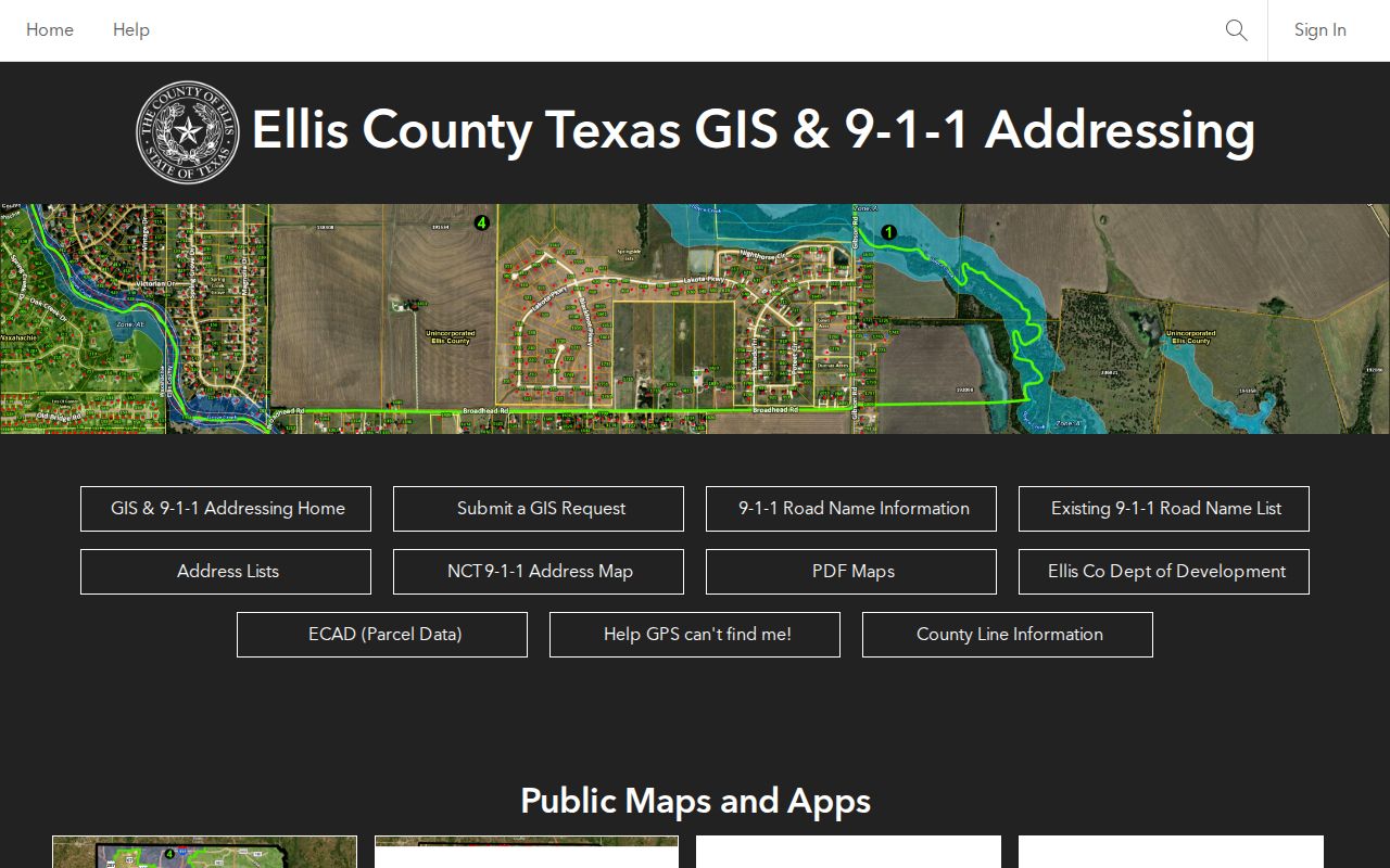
The portal is most useful for locating a feature and comparing nearby parcels or district layers. It is not proof of ownership, household membership, or current occupancy.
| County GIS control or layer | Street-search use | Save with the result |
|---|---|---|
| Address box | Enter text and select the normalized address | Selected feature and map date |
| Layer List | Turn on the needed map layers | Layer names and visible scale |
| Boundaries | Check JP/constable, commissioner, water, and school context | Relevant boundary name |
| Voting Precincts and Wards | Compare precinct or Ennis ward context | Visible precinct or ward |
| Parcel or road feature | Click or query a mapped feature when available | Parcel or map ID and adjacent features |
ECAD Clues for an Ellis Street Directory
ECAD connects an address to an appraisal account, but it is not the title repository. The district’s public entry point is Ellis Central Appraisal District; its office is at 400 Ferris Avenue in Waxahachie and its published phone is 972-937-3552. Compare the account’s situs field, legal description, taxing-unit context, and any mailing information with the map rather than treating a tax mailing address as a residence finding.
ECAD’s property-search entry page is the source for this Ellis address-record appraisal capture.
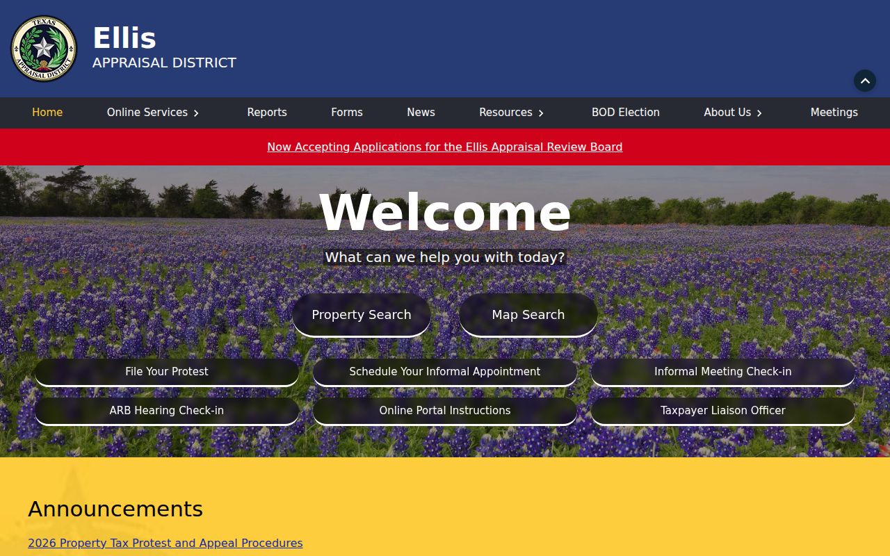
The research captured ECAD’s official entry page but not its live field labels. Confirm the production controls before relying on owner, address, account, or legal-description searches. If an existing record is not visible, ask ECAD for that existing record through its documented request form.
- Parcel
- A mapped piece of land or an account-linked property unit used to connect appraisal and GIS records.
- Situs address
- The physical property location used in appraisal context. It is different from an address used for tax correspondence.
- Plat
- A recorded map that can identify a subdivision, lot, block, streets, easements, and other layout details.
- Criss-cross directory
- An address-oriented directory arrangement. Ellis holdings should be confirmed with the library because a complete local reverse run was not verified.
Note: ECAD appraisal context and the recorded title trail have different custodians, so retain both source dates before comparing them.
Link Ellis Parcels to Deed Records
The Ellis County Clerk’s Acclaim index provides the recorded-property trail. A guest can search the index and preview access, while full images require a registered account and may involve paid image or subscription options plus the county’s stated transaction fee. Search by a party role, document type, date, legal description, instrument number, or volume and page. Do not promise that a street-address search exists in the deed index.
Acclaim’s official-records index is the source shown in this Ellis recorded-property image.
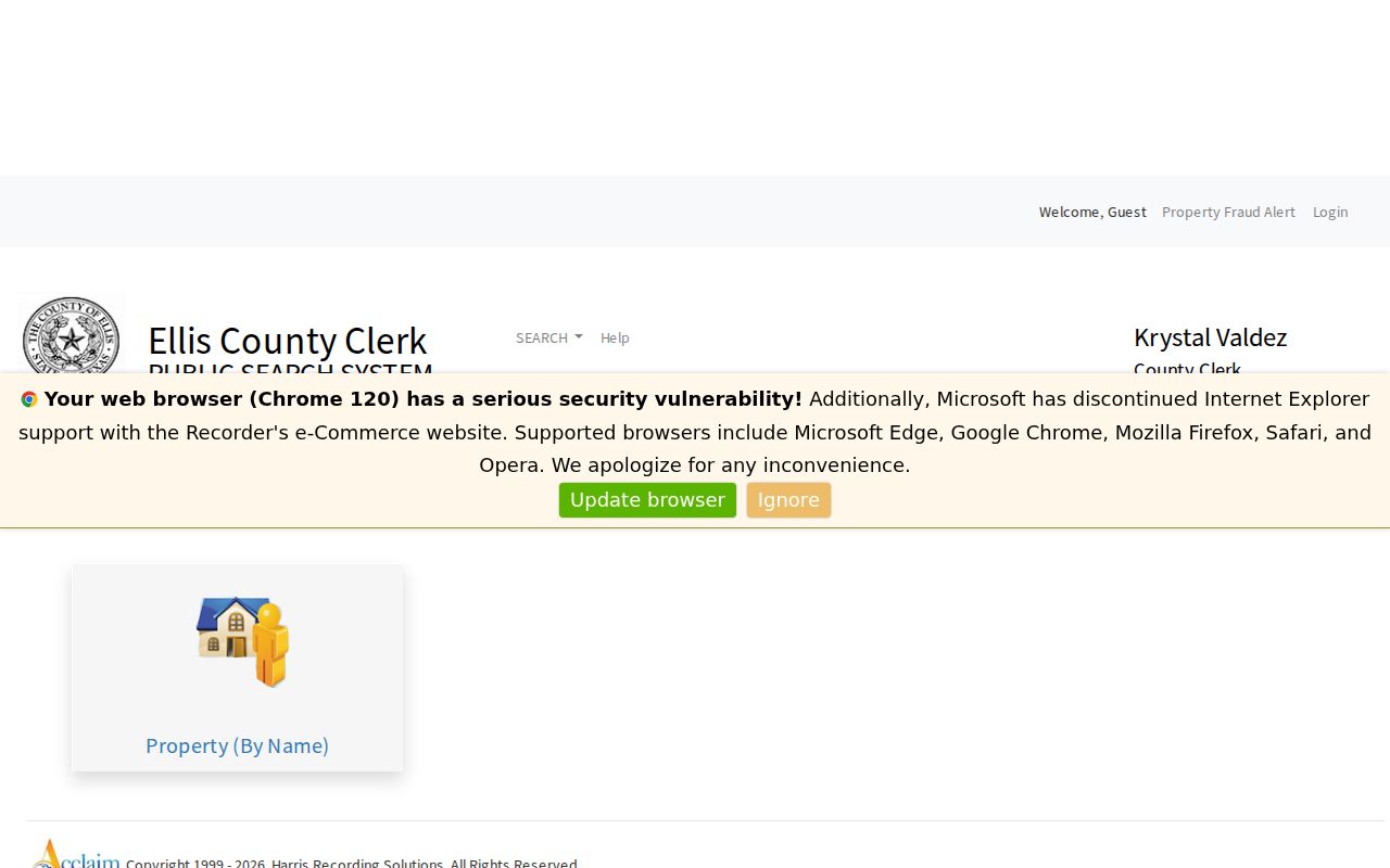
A recorded result needs its legal description and document details before it can be connected back to a mapped parcel. An instrument can name a trust, an estate representative, a lender, or another party who is not a current resident.
The Acclaim grantor and grantee search form displays the party-role, matching, date-range, and document-type controls captured for Ellis County.
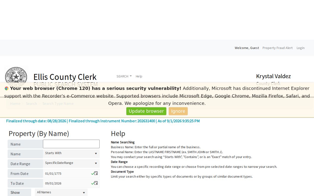
Grantor means a party transferring an interest; grantee means a party receiving one. A name-only match is only a lead. Verify the volume and page or instrument against the image or Clerk copy before drawing a property-history conclusion.
Waxahachie Fields for Ellis Street Records
Waxahachie’s public map-service metadata gives a city-specific example of the fields that may bridge an address, owner-mailing entry, and deed reference. The countywide map and the Clerk record remain separate sources. Verify any displayed VOLUME_1, PAGE_1, INSTRUMENT, or owner field against the official recorded document before using it as a property conclusion.
Waxahachie’s map-service layer metadata is the source for this Ellis address-field capture.
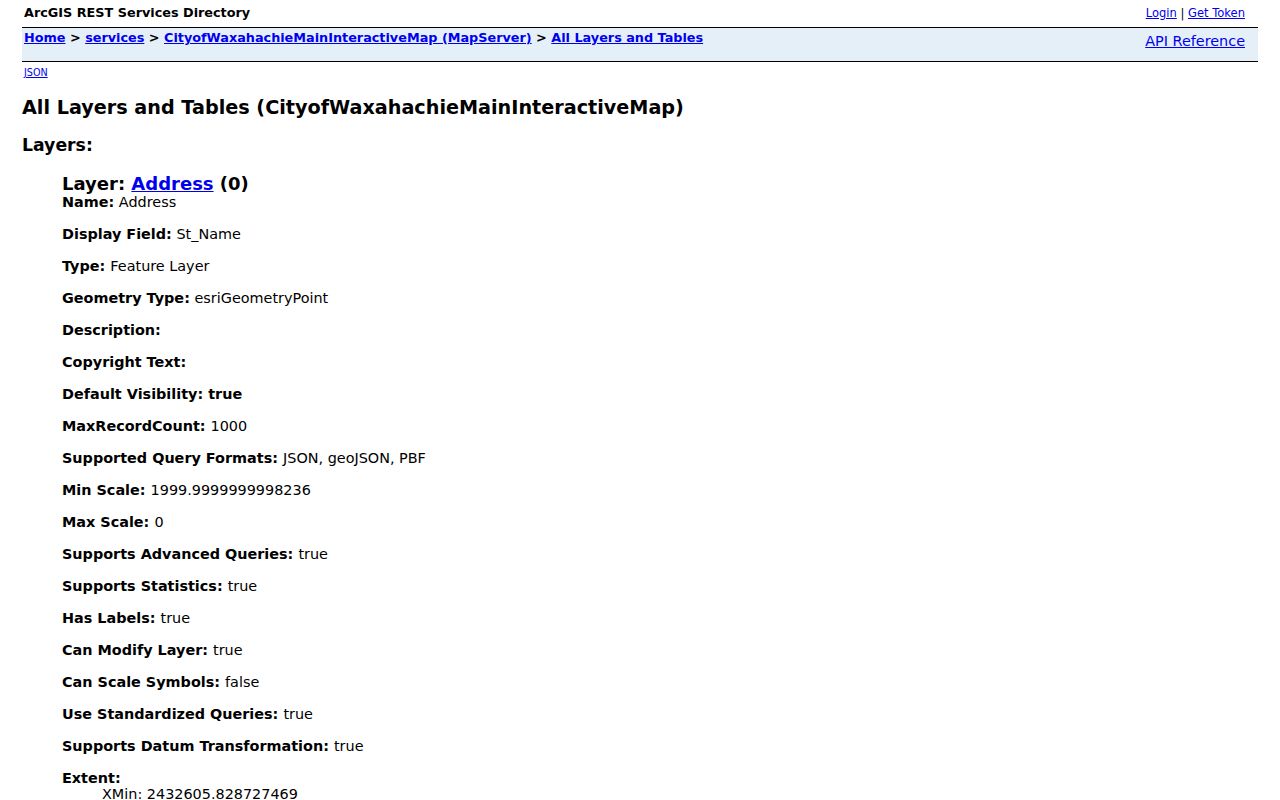
The inspected layer includes street number, prefix, name, suffix, city, state, ZIP, owner-mailing fields, MAPID, GEOID, deed date, volume, page, and instrument fields. It is valuable for a city map check, not a substitute for the County Clerk’s controlled record.
Ellis Street Maps From 1890 to 1946
Historic address work needs dated map continuity, not a guessed countywide renumbering. Waxahachie’s official 1946 city map was revised from an 1896 Phillips & Hawkins map and a 1922 Texas Title & Loan map, then adopted in February 1946. That documented sequence can help compare a historical street reference with the modern map, but it is not current boundary evidence.
The July 1890 Waxahachie Sanborn item has four sheets and can add lot boundaries, building footprints, use labels, construction materials, and street context. Sims Library, historic-resource surveys, dated directories, tax rolls, and deed descriptions provide complementary checks. The 2004 city survey used 1942 and 1955 directories to identify postwar block change, demonstrating why each year must be kept separate.
Note: No source established one countywide street-renumbering year, so confirm any claimed renaming through city records, plats, surveys, and dated maps.
Request an Ellis Street Record Precisely
A specific request reaches the right custodian faster. For a city permit, planning, or police file, include the full street number, normalized street name, unit if applicable, city, date range, and exact record type. For the County Clerk, provide the grantor or grantee, subdivision, legal description, instrument number, or volume and page when known. A GIS correction request should say whether the goal is an address correction or a map-data layer.
The County Clerk is at 109 South Jackson Street, Waxahachie, and property-recording and vital-record phone service is listed at 972-825-5070. The county describes mail copy requests through PO Box 250 in Waxahachie. For older deeds, the TSLAC guide identifies direct and reverse Ellis indexes and deed reels from 1845 through 1901. The guide cautions that transcriptions can be inaccurate, so inspect the filmed or original page when a name or boundary matters.
- Ask ECAD only for an existing appraisal record, and specify the delivery method needed.
- Ask GIS for a correction, map product, or data layer, not an unsupported conclusion about an address.
- Ask the Clerk for an index result, image, noncertified copy, certified copy, or full-size map by its correct name.
- Ask the municipal office that created a permit or code record, since no countywide public permit search was located.
Note: Identify the exact record and date range before requesting it, because county, city, appraisal, and GIS offices hold different materials.
Historic Ellis Street Directory Snapshots
Historical entries are time stamps, not a modern resident list. The documented Waxahachie directory holdings jump among 1895–1896, 1907, 1922, 1927–1928, and 1942. The gaps matter. A person or address absent in one volume may simply fall between surviving or located years. The 1985 historic-resource survey also points to Clerk deeds and mechanics’ liens, tax rolls, cemetery records, genealogy material, vertical files, and local newspaper microfilm.
For a household question that belongs in the historical shelf, consult the Ellis city directory collections after the current address and parcel work. Pair a directory entry with a census, deed, tax roll, map, obituary, or probate file where the date and identity need support. That preserves the useful distinction between an occupant notation, a recorded owner, and a family-history lead.
Limits of an Ellis Street Directory
An Ellis street directory cannot reveal every person connected to a block. A parcel record may show owner or mailing information, but it is not a household roster. Deed parties may be sellers, trustees, lenders, estates, or organizations. Voter registration is a registration record, not a current-residence guarantee. Utility customers, USPS delivery information, DMV addresses, protected voter addresses, juvenile or sealed court details, and nonpublic association rosters are not a lawful street-search shortcut.
Texas confidentiality programs can suppress or replace address details for protected people. The Texas Attorney General’s Address Confidentiality Program provides an eligible participant with a substitute mailing address, and the SOS confidentiality guidance describes voter-address suppression and other protected fields. Do not attempt to reconstruct a protected address from a parcel, map, or historical item.